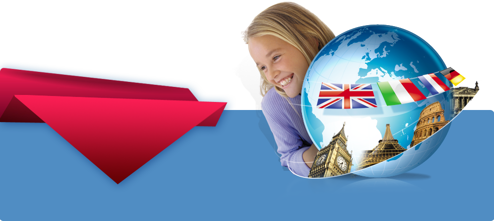
| Скачать Part-1 Скачать Part-2 Скачать Part-3  От полюса к полюсу. Это потрясающий интерактивной 3D Всемирный атлас.
Является полным, лаконичным и увлекательный способ исследования мира. Используя движок отображения вращения земного шара в режиме реального времени, 3D World Atlas предлагает вид плавно вращающейся Земли с масштабным увеличением 1:250,000. Уникальное приспособление вида горизонта симулирует вид с орбитального космического корабля.  From Pole to Pole
This stunning interactive 3D World Atlas
Is a complete, concise And Exciting way to Explore the world.  Featuring over half a million mapped locations, 3D World Atlas provides a level of detail to satisfy even the most demanding researcher.
Discover in-depth geographical information on natural disasters, landscape formation and global climate.
Or read comprehensive articles and statistics for almost 200 countries, with overviews that cover politics, media, crime, history and more!
Using a real-time globe rendering engine, 3D World Atlas offers a smoothly-rotating view of the Earth, zoomable to a map scale of 1:250,000.
The unique horizon view feature simulates the view from an orbiting spacecraft.
Also provided are half a million placenames, road networks, and a 300,000 word countries database. Planetary Visions provided
The detailed texturemaps
For the five globe views
General topographic map
Satellite map
Physical
Bio geographic
Night time maps As well as 30,000 words of text, satellite images and photos covering Earth science, landscape features, natural hazards and environmental issues. Features and Benefits
From Pole to Pole, this stunning, interactive 3D World Atlas is a complete, concise, and exciting way to explore the world.
Featuring over half a million mapped locations, 3D World Atlas provides a level of detail to satisfy even the most demanding researcher.
Discover in-depth geographical information on natural disasters, landscape formation and global climate.
Or read comprehensive articles and statistics for almost 200 countries, with overviews that cover politics, media, crime, history and more! Maps GENERAL:
Illustrates borders, with over 400,000 town and city names. SATELLITE:
Shows international borders and physical features. PHYSICAL:
Shows the forces that shape the EarthÆs surface. BIO-GEOGRAPHIC:
Shows the EarthÆs biomes. EARTH BY NIGHT:
Shows a satellite view of lights from cities across the world. Features:
* Hotlinks lead you to helpful geographic information
* Flat maps rendered as 3D globes
* Unique horizon view of planet Earth
* Shows latitude and longitude co-ordinates
* Measure distance between two or more locations
* Mark and label your favorite locations
* Print or copy maps, text and graphics Windows 2000 / 98 / ME / XP / VISTA From Pole to Pole, this stunning, interactive 3D World Atlas is a complete, concise, and exciting way to explore the world. Featuring over half a million mapped locations, 3D World Atlas provides a level of detail to satisfy even the most demanding researcher. Discover in-depth geographical information on natural disasters, landscape formation and global climate. Or read comprehensive articles and statistics for almost 200 countries, with overviews that cover politics, media, crime, history and more! KEY FEATURES: Hotlinks lead you to helpful geographic information
Flat maps rendered as 3D globes.
Unique 'horizon' view of planet Earth
Shows latitude and longitude co-ordinates
Measure distance between two or more locations.
Mark and label your favorite locations.
Print or copy maps, text and graphics.
Supports school curriculum (grades 3-4) MAPS
GENERAL: Illustrates borders, with over 400,000 town and city names.
SATELLITE: Shows international borders and physical features.
PHYSICAL: Shows the forces that shape the Earth's surface.
BIO-GEOGRAPHIC: Shows the Earth's biomes.
EARTH BY NIGHT: Shows a satellite view of lights from cities across the world. Размер: 297.79 Mb
|